Resources
Explore the research, insights, and technical documentation behind Chloris data.

Many financial institutions need to update how they assess their exposure to deforestation and land-use change emissions, and the update points in one direction: a geospatial lens on what is actually happening across the land their portfolios finance, as new net-zero standards are about to require banks and asset managers to measure and disclose the emissions embedded in their portfolios, including those tied to forests, land, and agriculture.

The Science Based Targets initiative published Version 2.0 of its Corporate Net-Zero Standard on 11 June 2026. The shift is from ambition to implementation. For most sectors that means greater flexibility in how targets are set and met. For companies sourcing forest and agricultural commodities, the implications are more specific because the most important changes sit in the treatment of Scope 3 emissions. The implications also carry a timing imperative: the evidence base the standard rewards takes years rather than months to assemble, so for a company that wants to use the new flexibility when V2.0 becomes mandatory on 1 January 2028, the work that matters should start soon.


Forest carbon projects are built on a promise of permanence. But the threats to permanence can materialize in days, and the tools most project teams rely on to detect them were never designed to answer the question that matters most: how much carbon is actually at risk?
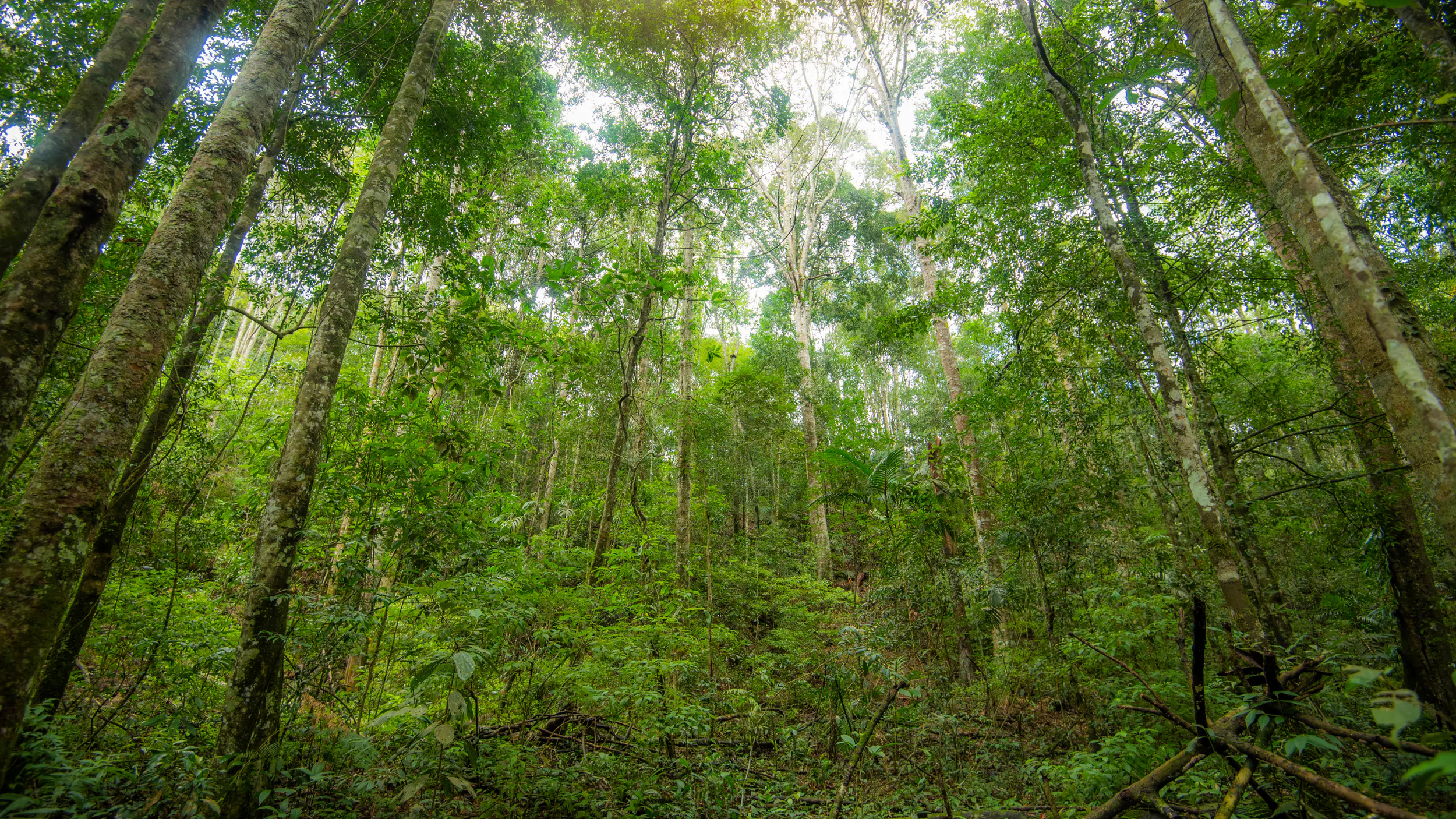


Global Canopy’s Forest 500 2026 report came out this week. The headline is stark: of the 500 most influential companies in the global deforestation economy, only 4% qualify as leaders. This was supposed to be the year many of the biggest corporate deforestation pledges came due. That number doesn’t surprise me. But it reflects a structural problem: we are still assessing companies largely in isolation from the landscapes they source from.
For two decades, tropical forest monitoring has been built on a single observable: area change. Satellites detect canopy clearing. Change detection algorithms delineate disturbance boundaries. Near-real-time alert systems fire when forest converts to non-forest land cover. It's a reasonable approach to a visible problem. The only issue is that it's missing part of the story. New analysis covering 25 years of pantropical above-ground biomass (AGB) data across 1,455 jurisdictions reveals a striking finding: the dominant driver of forest biomass loss isn't deforestation.

As companies begin implementing the GHG Protocol Land Sector and Removals Standard (LSRS), they face several unresolved questions on key methodological issues. These include whether dynamic baselines can be used for removals, how adjacent land should be treated, whether stratified emission factors are permitted, and how the “right-to-report” rules should be applied. These questions came out repeatedly in the Q&A of our February 11 webinar, Operationalising the GHG Protocol LSR Standard: Live Discussion, reflecting how widely practitioners are grappling with them.


